PlaceThe Twenties and the Great Depression
Route 66
The “Mother Road” from Chicago to Santa Monica
1926–1985Chicago, Illinois, to Santa Monica, California
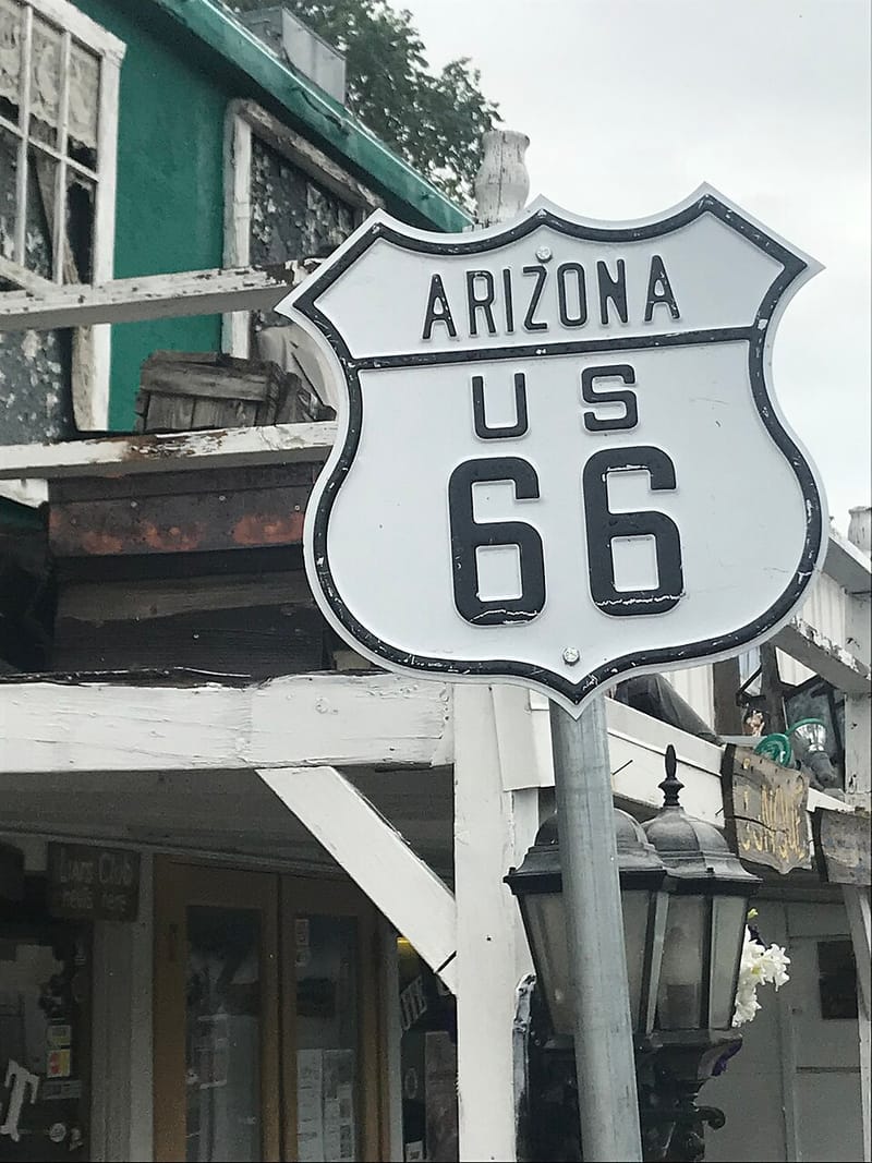
U.S. Highway 66 was created in 1926 to meet the growing demand for automobile travel. Its roughly 2,400 miles from Chicago to Santa Monica linked the main streets of small towns to cities, carried migrants fleeing the Dust Bowl and military convoys in World War II, and fed the boom in postwar road-trip tourism. Decommissioned in 1985, “Route 66” lives on in literature, film, and song as a symbol of mobility, freedom, and the American Dream.
Key facts
- Date
- 1926–1985
- Location
- Chicago, Illinois, to Santa Monica, California
- Created
- 1926
- Length
- About 2,400 miles, Chicago to Santa Monica
- Nickname
- The “Mother Road”
- Decommissioned
- 1985, as a federal highway
- Historic sites
- More than 250 buildings, bridges, and road sections on the National Register
Why it matters
Route 66 is the classic American road: a record of migration, war, and the automobile’s remaking of everyday life, and a lasting symbol of freedom and the open road.
About the place
Route 66 crossed the heart of the country from Chicago to Santa Monica on the Pacific. Along it grew the hotels, filling stations, and restaurants of the automobile age; more than 250 of its buildings, bridges, and road alignments are now listed on the National Register of Historic Places.
History
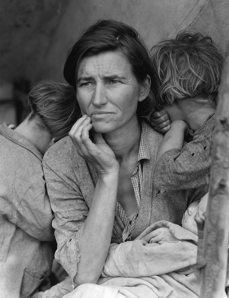
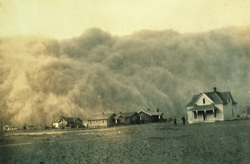
The highway was created in 1926 to serve the rising number of cars. During the 1930s it carried emigrants out of the Dust Bowl — westward migrants disparagingly called “Okies” by their new neighbors, whose plight John Steinbeck captured in The Grapes of Wrath (1939). In World War II it moved military convoys, and after the war it fed a boom in automobile tourism. The National Park Service credits the road with enabling one of the most comprehensive movements of people in American history, which transformed the West from a rural frontier into a metropolitan region.
In 1985 U.S. Highway 66 was decommissioned as a federal highway, but it continues to live on in the American imagination as “Route 66.”
Study this entry
Check your understanding
Try answering in your own words, then open the answer.
1.What is this place?Show answerHide
Route 66 crossed the heart of the country from Chicago to Santa Monica on the Pacific. Along it grew the hotels, filling stations, and restaurants of the automobile age; more than 250 of its buildings, bridges, and road alignments are now listed on the National Register of Historic Places.From “About the place” above.
2.What happened here?Show answerHide
The highway was created in 1926 to serve the rising number of cars. During the 1930s it carried emigrants out of the Dust Bowl — westward migrants disparagingly called “Okies” by their new neighbors, whose plight John Steinbeck captured in The Grapes of Wrath (1939).From “History” above.
Turn this entry into 10 flashcards (key facts, dates, and why it matters) and review them in Learn.
Related History
How this connects to the rest of the atlas.
Events

Sources
- 1.Route 66 National Historic Trail
National Park Service · Institutional · cited for creation in 1926, length, Dust Bowl, WWII, tourism, 1985 decommissioning
- 2.Travel Route 66
National Park Service · Institutional · cited for the “Mother Road,” historic sites on the National Register
- 3.The American Yawp, “The Great Depression”
The American Yawp (eds. Joseph Locke and Ben Wright; Stanford University Press) · Scholarly · cited for Depression migrants and *The Grapes of Wrath*
Image credits
- Route 66 sign 3, Morten Haan, 2018-06-16 13:37:01. Via Wikimedia Commons · CC BY-SA 4.0 · Source
Written for American History Atlas from the sources above. See how entries are researched.
Atlas by Alexander. More on Telegram.